
04 Nov, 2025
2 min read
Severe Tropical Storm Nando Intensifies, Threatening Batanes-Babuyan Islands with Potential Super Typhoon Impact
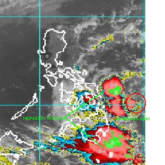
The Philippine Atmospheric, Geophysical, and Astronomical Services Administration (PAGASA) reported that Tropical Storm Nando, internationally named Ragasa, has intensified into a Severe Tropical Storm over the Philippine Sea and is expected to develop into a typhoon by Saturday, September 20. Forecasts indicate that Nando could escalate into a super typhoon before nearing the Batanes-Babuyan Islands early Monday, September 22.
At 11 p.m. on Friday, September 19, PAGASA stated that the storm was positioned approximately 840 kilometers east of Central Luzon, moving westward at 10 kilometers per hour. It recorded maximum sustained winds of 95 km/h with gusts reaching 115 km/h.
Projected locations include being 790 km east of Casiguran, Aurora at 8 a.m. on September 20; 455 km east of Calayan, Cagayan at 8 p.m. on September 21; and near the coastal waters of Sabtang, Batanes at approximately 8 p.m. on September 22. The storm is expected to exit the Philippine Area of Responsibility by Tuesday morning, September 23.
PAGASA cautioned that the combination of Nando and the southwest monsoon (habagat) may result in heavy rainfall starting Sunday, September 21. "Nando may enhance the southwest monsoon as it approaches the landmass," the agency noted.
Consequently, Tropical Cyclone Wind Signal (TCWS) No. 1 has been issued for Northern Luzon beginning Saturday morning, with the possibility of escalation to Signal No. 5 at the storm's peak intensity. Authorities advised residents in coastal and upland regions to remain alert due to anticipated strong to gale-force winds across various areas on September 20 through 22, including Bicol Region, Eastern Visayas, Caraga, Zambales, Bataan, CALABARZON, MIMAROPA, Visayas, Northern Mindanao, and Davao Occidental.
Communities in Northern and Central Luzon, Visayas, and Northern Mindanao were urged to closely monitor updates and prepare for potential flooding, strong winds, storm surges, and other coastal hazards. PAGASA indicated that a storm surge warning might be issued for Northern Luzon coastal waters on Saturday.
Marine conditions are expected to be moderate, with seas of up to 2.5 meters forecast along the eastern seaboards of Batanes, Cagayan (including the Babuyan Islands), Isabela, and Catanduanes. Mariners, especially those operating small vessels, have been advised to exercise caution or avoid venturing out to sea until conditions improve.
Recommended For You

Church Leads "Revolt of the Soul" Amid Nationwide Protest Against Corruption in Flood Control Projects
Nov 04, 2025
Isabella Garcia

INTERPOL Asian Regional Conference Ends with Renewed Commitment to Regional Security
Nov 04, 2025
Sofia Lim

Lufthansa Technik Philippines and Philippine Airlines Mark 25 Years of Strategic Partnership
Nov 04, 2025
Isabella Garcia

Cebu Province Upgrades Hospital Dental Facilities with New Chairs and X-Ray Units
Nov 04, 2025
Rafael Villanueva